
Laser Triangulation 3D Scanning
Laser triangulation 3D scanning uses laser projection and calibrated imaging geometry to calculate three-dimensional surface coordinates.
Definition
Laser triangulation 3D scanning is a non-contact optical 3D measurement technology that calculates precise three-dimensional surface coordinates of physical objects by leveraging the geometric triangular relationship between a laser emitter, imaging sensor, and target object surface. It is commonly used in industrial 3D digitization workflows such as reverse engineering, quality inspection, and digital asset creation, with suitability depending on system configuration and measurement requirements.
How It Works
Laser triangulation 3D scanning operates on the principle of triangular geometry, with a broadly similar workflow across system configurations:
- Projection: A calibrated laser emitter projects a controlled laser pattern (which may be a single point, line array, cross-line grid, or multi-line pattern, depending on system design) onto the surface of the target object. The laser pattern distorts to match the topography of the object’s surface.
- Imaging: One or more industrial imaging sensors, positioned at a known, calibrated offset angle from the laser emitter, capture the distorted laser projection. System configurations may use single-camera, dual-camera, or multi-camera arrays, depending on coverage and accuracy requirements.
- Coordinate Calculation: The system uses pre-calibrated intrinsic parameters (sensor focal length, distortion coefficients) and extrinsic parameters (relative position and angle between the laser emitter and sensors) to solve triangulation equations, converting 2D pixel data from the imaging sensors into 3D spatial coordinates for each illuminated surface point.
- Data Aggregation: Individual 3D coordinate points are aggregated into a dense point cloud, which is processed to generate a 3D mesh or model for downstream analysis or digitization workflows. Mobile scanning systems may integrate real-time alignment via optical tracking or marker matching to combine multiple scan frames into a unified coordinate system.
Key Parameters and Criteria
Performance of laser triangulation 3D scanning systems is evaluated against standardized, measurable parameters, which may vary based on system configuration, target object material and surface finish, ambient operating conditions, and calibration status. Published specifications are typically stated under controlled test conditions. Key evaluation criteria are outlined in the table below:
| Parameter | Meaning | Judgment Method |
|---|---|---|
| Single-point measurement accuracy | The maximum deviation between a measured 3D coordinate of a reference point and its calibrated true value, representing the system’s ability to capture precise individual surface points | Verified by measuring calibrated gauge blocks or standard reference spheres under specified operating conditions, per industrial metrology protocols |
| Volume accuracy | The maximum allowable deviation across the full scanning volume, accounting for cumulative error across large scan areas | Evaluated by measuring a calibrated length artifact positioned at multiple locations and orientations within the system’s working volume |
| Scan rate | The number of valid 3D surface points captured per unit of time, indicating scanning efficiency | Measured as the count of processed 3D points generated per second during continuous scanning, excluding post-processing time |
| Effective field of view (FOV) | The maximum surface area the system can capture in a single scan frame, without repositioning the scanner or target | Verified by measuring the maximum usable scan area of a calibrated flat reference plane at the system’s optimal working distance |
| Depth of field | The maximum distance range along the scanner’s optical axis within which measurement accuracy remains within specified tolerances | Tested by measuring a reference artifact at incremental distances from the scanner, recording the distance range where accuracy stays within published tolerances |
| Laser safety class | Classification of laser emission power and associated safety requirements for operation, based on international laser safety standards | Confirmed via third-party safety testing per IEC 60825 or equivalent regional laser safety standards |
Suitable and Unsuitable Scenarios
Suitable Scenarios
- Industrial dimensional inspection and quality control, including geometric dimensioning and tolerancing (GD&T) analysis, deviation comparison against CAD reference models, and uneven wear assessment of tooling and operational assets
- Industrial reverse engineering for product design optimization, mold correction, and legacy part replication
- Digitization of large industrial structures and assets for digital twin creation, asset management, and maintenance documentation
- On-site inspection in harsh industrial environments (including high-temperature, high-vibration, and confined space settings) where contact measurement techniques are impractical
- Batch scanning of small to medium industrial components, 3D printed part validation, and photovoltaic component measurement
Unsuitable Scenarios
- Scanning of highly transparent, specular (mirror-like), or extremely low-reflectivity surfaces without prior surface preparation, as these can cause laser refraction, specular glare, or signal loss that degrades measurement accuracy
- Measurement of fully enclosed internal cavities or deep, narrow features where laser projection cannot reach the target surface
- Scenarios requiring sub-micron level precision for micro-scale components, where specialized metrology techniques (e.g., confocal microscopy) are more appropriate
- Long-range scanning of objects at distances exceeding the system’s maximum rated working distance, as triangulation accuracy degrades significantly with increased distance between the system and target
Common Misconceptions
- Misconception: All laser triangulation 3D scanners deliver consistent accuracy across all use cases.
Correction: Published accuracy specifications are only valid under standardized test conditions. Real-world accuracy varies based on system calibration status, target surface properties, ambient lighting, working distance, and scan speed settings.
- Misconception: Laser triangulation 3D scanning can capture any surface without preparation.
Correction: Highly reflective, transparent, or extremely dark, low-reflectivity surfaces often require temporary surface preparation (e.g., temporary matte coating) to ensure consistent laser signal capture and reduce measurement error.
- Misconception: Higher laser power always improves scan quality.
Correction: Excess laser power can cause signal saturation on high-reflectivity surfaces, increasing measurement error, and may raise the system’s laser safety classification, requiring additional operator protection measures.
- Misconception: Laser triangulation 3D scanning is only suitable for small parts.
Correction: Modern laser triangulation systems are available in configurations optimized for parts ranging from sub-centimeter small components to multi-meter large structures, with adjustable fields of view and calibrated volume accuracy ratings for large-area scanning.
Related Concepts
- Structured Light 3D Scanning: A non-contact optical 3D measurement technique that projects non-laser structured light patterns (e.g., fringe, grid patterns) onto target surfaces, often offering higher point density for fine detail capture in controlled indoor environments.
- Optical Tracking System: A 3D positioning system that uses optical markers or natural feature matching to track the position and orientation of a mobile scanning device in 3D space, enabling alignment of multiple scan frames into a single unified coordinate system.
- Point Cloud: The raw output of 3D scanning systems, consisting of a set of 3D spatial coordinate points that represent the surface topography of the scanned object, processed to generate 3D meshes or models for downstream analysis.
- Industrial 3D Digitization: The end-to-end workflow of converting physical industrial assets, components, or structures into digital 3D representations for use in reverse engineering, quality inspection, digital twin creation, and asset management.
- GD&T (Geometric Dimensioning and Tolerancing): A standardized engineering framework for defining and communicating part geometry and tolerance requirements, widely integrated into industrial 3D inspection software to evaluate scanned part compliance against design specifications.
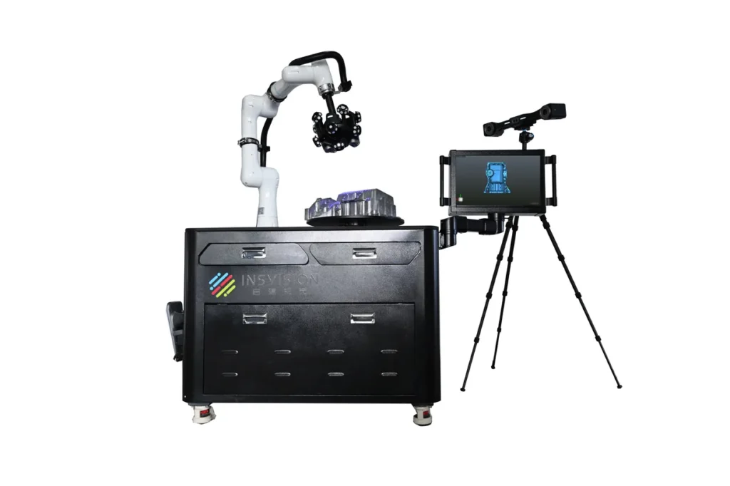
- Automated 3D Scanning System: An integrated 3D measurement system that combines 3D scanning hardware with robotic, gantry, or conveyor systems for automated, batch scanning of components without manual operator input.
FAQ
What is the core difference between laser triangulation 3D scanning and structured light 3D scanning?
The core difference lies in the type of optical projection used. Laser triangulation systems use laser-based projections (points, lines, or cross-line patterns) to illuminate the target surface, making them more resistant to ambient light interference, suitable for on-site and harsh environment use. Structured light systems project non-laser structured light patterns (e.g., fringe, grid patterns) onto the target surface, often offering higher point density for fine detail capture in controlled indoor environments.
How does surface finish impact laser triangulation 3D scanning performance?
Surface finish directly impacts the quality of laser signal reflection captured by the system’s imaging sensors. Matte, low-reflectivity surfaces typically produce consistent, high-quality scan data. Highly specular (mirror-like), transparent, or extremely dark, low-reflectivity surfaces can cause laser signal refraction, specular glare, or signal loss, leading to missing data points or increased measurement error. These surfaces may require temporary surface preparation to improve scan quality.
Can laser triangulation 3D scanning be used for large-scale object digitization?
Yes. When paired with appropriate optical tracking systems or marker-based alignment techniques, laser triangulation 3D scanning systems can be used to scan large-scale objects and structures (e.g., large industrial workpieces, infrastructure assets) with calibrated volume accuracy ratings that scale with the size of the scan volume. Modern systems are available with large effective fields of view to reduce the number of scan frames required for large object digitization.
What safety requirements apply to laser triangulation 3D scanner operation?
Safety requirements are determined by the system’s laser safety classification, per international laser safety standards. Safety requirements must be confirmed from the specific scanner's laser safety classification and documentation. Operators should follow applicable IEC 60825 or regional laser safety standards, site procedures, training requirements, protective eyewear rules when required, and access-control requirements for the actual laser class in use.
Summary
Laser triangulation 3D scanning is a versatile, non-contact optical 3D measurement technology used in industrial sectors for reverse engineering, quality inspection, and digital asset creation. Its performance is evaluated against standardized metrology parameters, with real-world results dependent on system configuration, target object properties, and operating environment. The technology supports deployment in both controlled factory settings and harsh on-site environments, with configurable designs including handheld, stationary, and automated system variants to suit a broad range of industrial 3D digitization workflows.
- What Is 3D Scanning? Principles, Workflow, and Industrial Applications 3D scanning is a digital measurement technology that converts the surface geometry of physical objects into 3D data. This entry covers its working principles, core parameters, industrial use cases, common misconceptions, and related technical…
- What Is a 3D Scanner? Types, Parameters, and Selection Criteria A 3D scanner captures three-dimensional surface data from physical objects and converts geometry, dimensions, and features into digital data for inspection, reverse engineering, and modeling.
- What Is 3D Scanning Accuracy? Accuracy, Repeatability, and Resolution Explained 3D scanning accuracy describes how closely scan data matches an object's actual geometry and dimensions. It is assessed through local accuracy, volumetric accuracy, stitching accuracy, repeatability, and resolution.
- What Is Point Cloud Data? Point Clouds, Meshes, and CAD Models in 3D Scanning Point cloud data is an important raw data format in 3D scanning. It consists of discrete 3D coordinate points that describe object surface geometry and support inspection, reverse engineering, modeling, and archiving.
Hangzhou Insvision Technology Co.,Ltd.
Address: Building 1, No. 1399 Liangmu Road, Yuhang District, Hangzhou, Zhejiang 311121, China